From Reactive Patchwork to Predictive Governance
InfraTwin AI is an autonomous, end-to-end road infrastructure auditing platform for Indian smart cities. Powered by sub-centimeter YOLOv8 segmentation, WebGL 3D depth mesh estimation, Llama-3 GenAI BOQ synthesis, and automated contractor SLA fraud detection.
Test the Computer Vision & Depth Engine
Toggle between raw aerial drone RGB imagery, YOLOv8 cyan segmentation boundary masks, and sub-centimeter monocular 3D depth heatmaps.
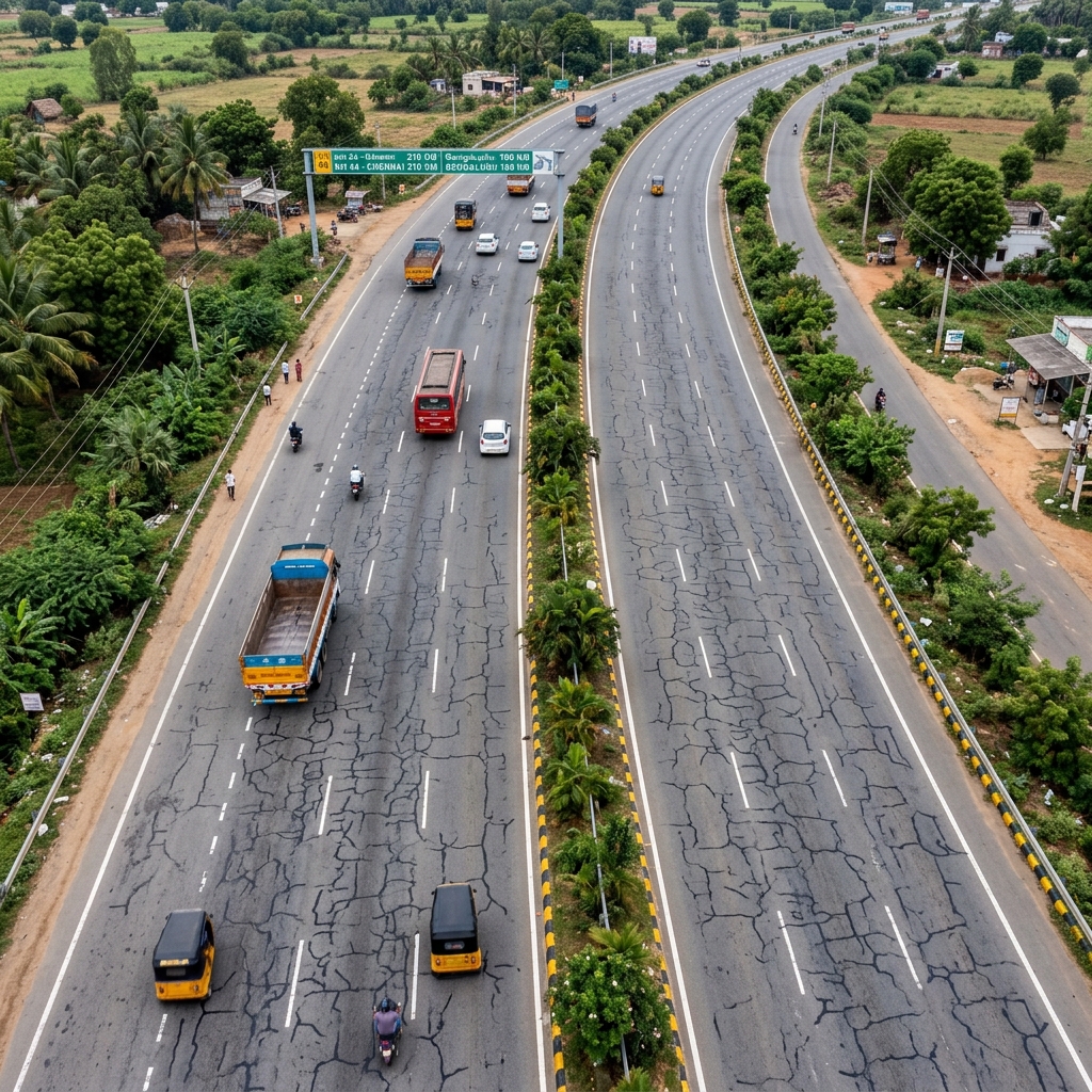
Outer Ring Road Pothole #104
Drone altitude: 12 meters • Resolution: 0.8 cm/pixel • Sub-centimeter accuracy
How InfraTwin AI Governs Smart City Roads
From raw aerial drone flight to automated statutory compliance and contractor payment release.
Autonomous Drone Sortie
Drones capture high-resolution RGB and multispectral road surface imagery across city wards.
YOLOv8 & 3D Depth Engine
Sub-centimeter segmentation masks trace distress boundaries and construct WebGL 3D depth heatmaps.
Nirman Copilot (Groq Llama-3)
Generates IRC:82-2023 compliant BOQs, material schedules, cost estimates, and carbon footprints.
Contractor SLA & Fraud Freeze
Compares post-repair scans with claimed material volumes to automatically freeze fraudulent contractor payments.
End-to-End Infrastructure Intelligence
6 Core Modules for Modern Smart City Governance
Replacing slow manual inspections with autonomous drone AI, 3D volumetric depth analysis, and LLM-powered IRC compliance.
Calculate Municipal Savings for Your City
Adjust the road network size to project municipal budget savings, prevented contractor over-billing, and reduced carbon footprint.
Via early preventive patch maintenance
Through 3D volumetric audit rules
Reduced raw asphalt production
Drone AI vs manual PWD teams
Powered By State-of-the-Art Computer Vision & AI Architecture
Ready to Upgrade City Pavement Governance?
Deploy InfraTwin AI to eliminate delayed manual surveys, prevent fraudulent contractor claims, and optimize municipal road maintenance budgets.